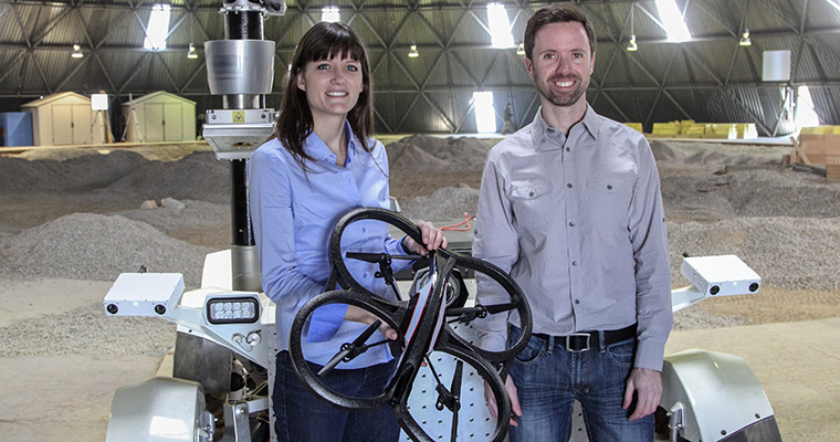
A new research partnership between academia, industry and government will enable unmanned aerial vehicles — UAVs, also known as drones — to safely find their way back to their launch point, even if their communication or GPS navigation systems fail. The technology could greatly expand the use of drones in applications from delivery of goods to military reconnaissance.
The project is a collaboration between U of T Engineering, Drone Delivery Canada (DDC) and Defence Research and Development Canada (DRDC). Professor Angela Schoellig (UTIAS) is leading the team, which also includes Professor Tim Barfoot (UTIAS).
“If drones are going to move beyond their current applications, they will need to be able to deal with all kinds of challenging conditions without help from ground-based operators,” says Schoellig. “Visual navigation provides a way forward, and we are excited to apply our expertise in this field to develop a solution.”
Currently, federal regulations require that UAVs remain within visual range of their operators. The idea is that if there is a problem, the operator will notice and step in with manual controls to avert a crash. But in the future, companies like DDC envision using drones over much larger distances, where maintaining visual contact will be impossible.
Read the full story on U of T Engineering News.
